Tippecanoe County
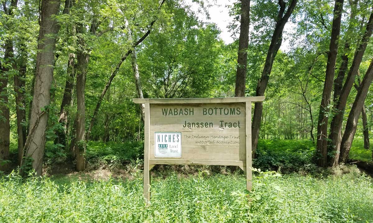
Wabash Bottoms: Janssen Tract
Wabash Bottoms is an example of collaborative conservation: forty-five acres of the seventy-acre property belong to NICHES (marked with property boundary signs). The remaining acreage, the 200 foot strip along the river, and the field south of the NICHES sign, belong to the Tippecanoe County Department of Parks and Recreation, who partnered with us for the acquisition.
The river corridor, though narrow, is wooded, and the north-east corner of the property includes an old forested swamp with many interesting plant, mammal, and bird species. The majority of the property was farmed when NICHES acquired and reforested soon thereafter. Reforestation projects on the Wabash can be difficult as young trees often do not make it when they go under water in the growing season, yet a few trees persist and grow expanding the forest and reclaiming ground from reed canary grass and giant ragweed.
Activities
- Bird Watching
- Fishing
- No Trails
- Wildflowers
History of Acquisition and Property
Acquired in 1999. Acquisition partners: Tippecanoe County Department of Parks and Recreation, DNR through the Indiana Heritage Trust and NICHES financial supporters.
More about the property:
Half a mile south of the NICHES sign, in the top of a tall tree on an island in the Wabash River, sits an eagles nest easily visible from the road. The nest is the first active Bald Eagle nest found in Tippecanoe county for over a century; the nest was, in fact, first discovered and reported by Randy Janssen who, with his wife Lois, were the previous owners of the Janssen Tract before NICHES acquired it in 1999.
NOTE: the island and surrounding land on both sides of the road opposite the nest are NOT public property–please observe the eagles only from the road. They are usually present year-round, but the nest is typically active from late February, when the eggs are laid, through April or May when the young have fledged.
How to Get There
From Lafayette/West Lafayette take South River Road/Division Road west across US 231 and follow that for 8.3 miles to the Ravines Golf Course at S 875 W and take a left. Follow S 875 W past Ross Hills Park and curve right onto W 50 S. Take the next left onto 925 W and follow that past Ross Camp and curve right onto W 75 S. Take the next left onto S 950 W and follow that for 1.5 miles until you reach the sign at the parking area on your left.
From Attica/Williamsport turn onto SR 55 from SR 28/41 and cross the bridge over Big Pine Creek. Take the first right onto E Independence Road. Follow Independence Road for 9.7 miles until you reach E 350 N and turn right. Follow E 350 N for 2.1 miles. The parking lot will be on your right.
The parking lot for Wabash Bottoms is located on the left side of the road just past a small bridge over the stream that runs through the property to the Wabash River.
Seasonal Features
Floodplain lands that is inundated when the Wabash River is flooded.
Noteworthy Information
Wabash Bottoms was NICHES first purchased property
Closures
Closed in November for Deer Control Hunt
Parking
Gravel and grass lot
Number of Acres
45
Trail Description
No trails
1782 N 400 E, Lafayette, IN 47905
(765) 423-1605
niches@nicheslandtrust.org